

Surveying
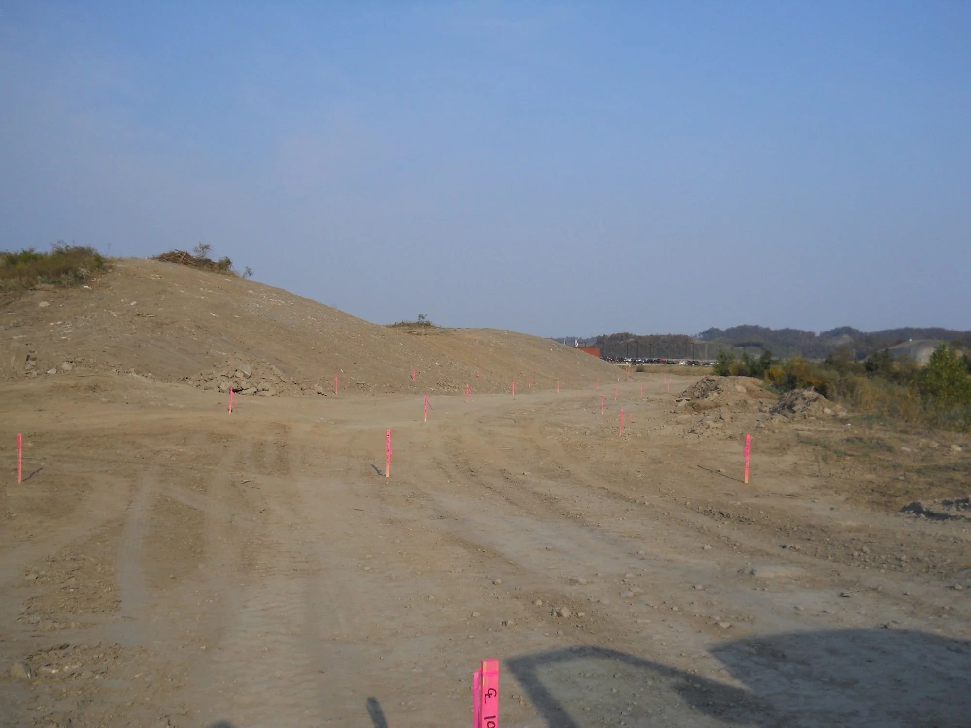
Precision is key to any successful project, and Terra Tech’s surveying services provide the accurate data needed for planning and execution. Using advanced technology and proven methods, we deliver high-quality land, boundary, and topographic surveys. Our expertise supports projects ranging from large-scale developments to detailed property assessments.
Overview

Key Components:
-
Accurate land delineation for legal and development purposes.
-
Precise staking for roads, buildings, and utilities.
-
Detailed mapping of existing site conditions.
-
Measuring resource quantities and site changes.
-
Cutting-edge technology for high-accuracy mapping.


